

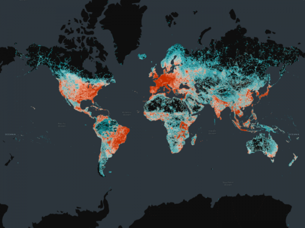
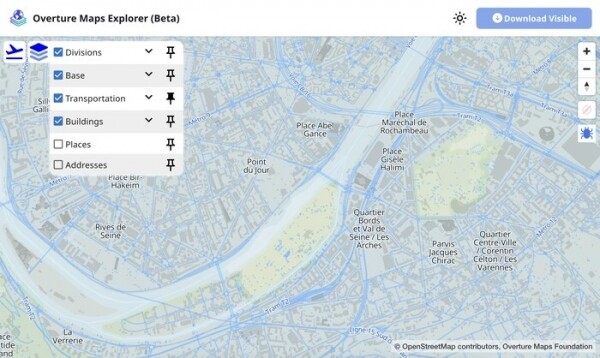
The non-profit project Overture Maps, operating under the auspices of the Linux Foundation, has released the 'Transportation' database, marked as the first ready for widespread use. The database includes information on 86 million kilometers of roads worldwide and is already utilized in applications by companies like Microsoft, Meta, and TomTom. The complete database archive in GeoParquet format occupies about 500 GB, and individual segments for selected areas can be downloaded through a web interface with an interactive map.
The founders of the Overture Maps project include Amazon, Meta, Microsoft, and TomTom, who decided to collaborate on creating a common collection of open maps and developing tools for working with maps and a unified schema for storing geospatial data on a neutral platform, the Linux Foundation. All interested parties can use the published maps and tools to create their own mapping services and keep them up to date.
The Overture Maps collection is based on OpenStreetMap data, enhanced with geospatial information provided by project participants and data from open sources. The difference between Overture Maps and OpenStreetMap lies in the fact that OpenStreetMap is a community for creating and editing maps, whereas Overture Maps aims to aggregate existing open maps from various sources. Overture Maps also provides a way to transfer all of its maps to OpenStreetMap, distributing additionally obtained data under a license compatible with OpenStreetMap.
Maps provided by project participants are distributed under the permissive CDLA (Community Data License Agreement), while maps downloaded from OpenStreetMap are under the ODbL (Open Database License). Both licenses are specifically designed for the distribution of databases and take into account a number of legal nuances related to mixing data from different sources and preserving licensing conditions when altering the structure or order of records. The original tools for Overture Maps are supplied under the MIT license.
The data included in the Overture Maps collection is verified for accuracy, updated, and free from inaccuracies. The "Transportation" collection features detailed road maps, refined using data from aerial imagery and equipped with information on established road signs, speed limits, traffic restrictions, ferry routes, and railroads. All data in the collection is standardized to a unified set of attributes, and a unified referencing system, GERS (Global Entity Reference System), is used for object binding.
GERS allows external data to be linked to points on the map and equipped with unique identifiers. For instance, information about accidents, road surface damages, road repair sections, and data on moving vehicles can be attached. Markers are set as an offset in meters from the start of a specific segment of the map. The storage scheme was originally designed with portability in mind for different mapping applications.
In addition to data on transportation networks, layers with address information, infrastructure elements, vegetation cover, buildings (over 2 billion building outlines), administrative boundaries, points of interest (POIs), and landmarks are under development.
Source: opennet.ru
